It is very rare for properties in the village of Stutton to be affected by flood water, but this happened in the autumn of 2015 following exceptionally heavy rain when the run-off from the field between Fanny Lane and Brant Lane poured down Malt Kiln Terrace and along Church Crescent. The field had been planted with potatoes, but after that crop was lifted and the field re-ploughed the normal drainage of the area returned.
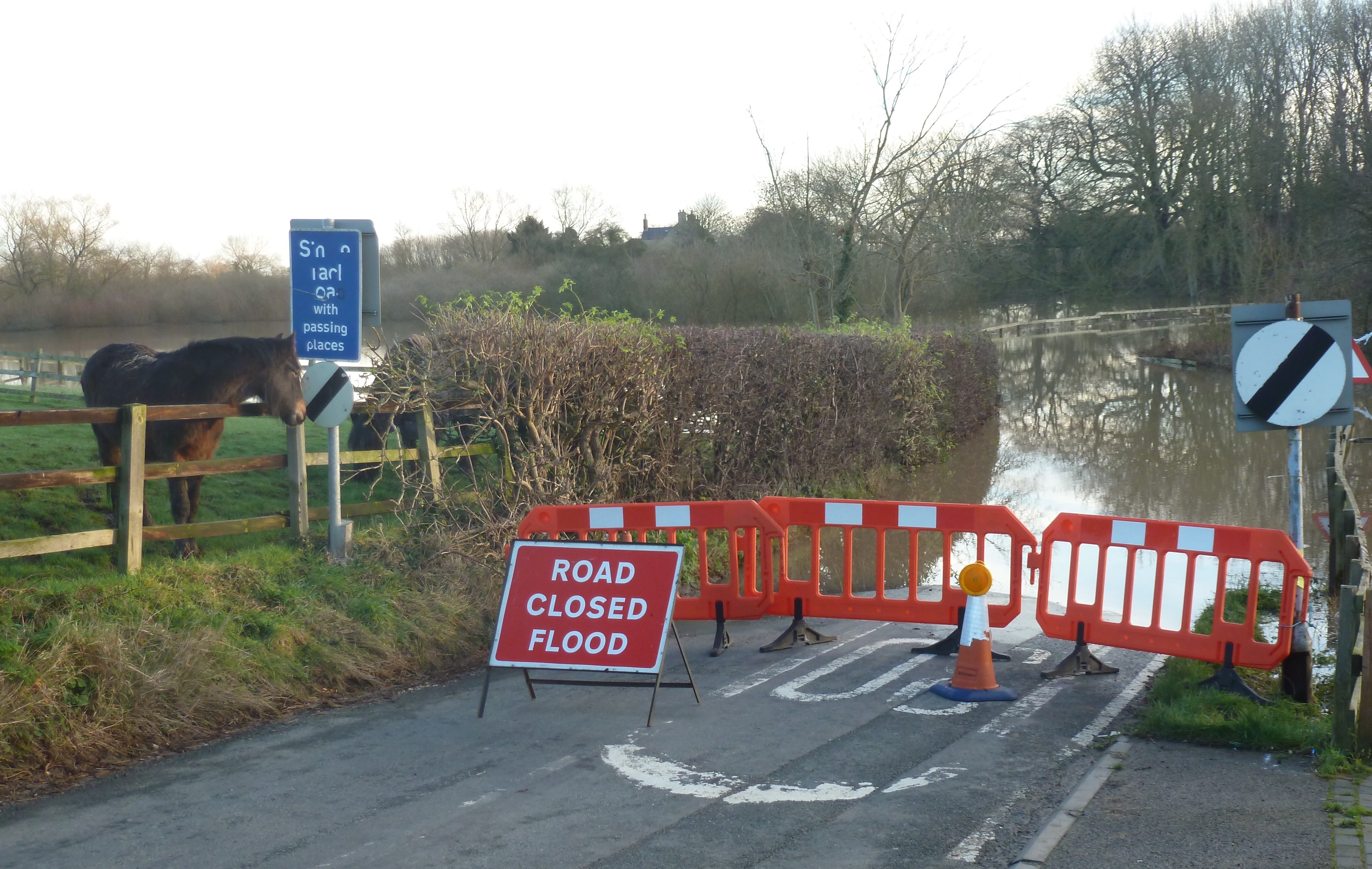 The Cock Beck, which flows around the eastern boundary of Stutton village, is prone to occasional flooding of the fields adjoining the village. The Cock Beck flows into the tidal River Wharfe below Tadcaster, and when the level at the Cock Beck sluices reaches around 8.4 metres the water begins to back up across Mill Lane, and may sometimes force its closure.
The Environment Agency issues regularly updated reports of the situation which can be accessed via the following links:
Cock Beck and Mill Lane at Stutton
River Wharfe at Tadcaster
Lower River Wharfe above Tadcaster
National flood warning map
At the end of 2015, following extensive flood damage across the Selby District, the District Council added a page to its website with support information. This can be accessed at www.selby.gov.uk/flooding.